Śmiała Wisła
Appearance
| Śmiała Wisła | |
|---|---|
 | |
| Location | |
| Country | Poland |
| Voivodeship | Pomeranian |
| Physical characteristics | |
| Source | |
| • location | Martwa Wisła |
| • coordinates | 54°20′57″N 18°47′15″E / 54.34917°N 18.78750°E |
| Mouth | |
• location | Gdańsk Bay |
• coordinates | 54°22′14″N 18°46′51″E / 54.37056°N 18.78083°E |
| Length | 25 km (16 mi) |
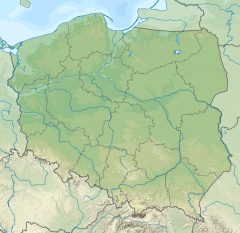
The Śmiała Wisła (Polish pronunciation: [ˈɕmjawa ˈviswa]) is a distributary river branch of the Vistula in northern Poland that flows to the Gdańsk Bay.
The Śmiała Wisła is a western border of Sobieszewo Island and was created during the 1840 flooding when it became a new mouth of the Vistula. Literally it means Daring Vistula.


